National Overview
Wow! So as we know from the various record early arrivals over the last month, some birds have clearly jumped the gun in response to the anomalously warm weather coupled with a series of fronts setting up strong SW winds across the Gulf of Mexico. Many, if not most, of these individuals were birds who wintered within the Lower 48 and were probably responding to a combination of weather, tree phenology, and food availability, in their decision to move north… but only in a few cases were the dates truly significant. Now it’s April 25th, within a day or two of the “sweet spot” for Trans and Circum-Gulf migration, and BAM! Look at that radar for south Texas! Winds over the Yucatan were primarily out of the east, which doesn’t make for optimal Trans-Gulf migration conditions… but along the East TX/Mexico border the winds were from the south all the way, and birds were bookin’ up into the U.S. all night! It’ll be a while before we feel the effects of this latest wave up here in the Upper Midwest or over in the Mid Atlantic regions, but Neotropical Migrants have been coming through in lesser numbers for over two weeks now so get ready to kick things up a notch at a spring hotspot near you! Otherwise migration was evident to one degree or another across the country from the Central Valley of California to the Mid Atlantic coast.
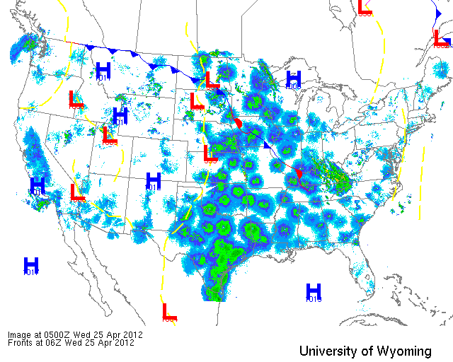
Below are the radar loops from sunset last night through 5:00am (central time) this morning
Since I will be publishing “as I go” each morning you may see some incomplete posts throughout the early morning hours. Don’t worry- it’s coming!
Mid Atlantic
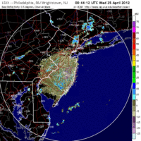
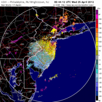
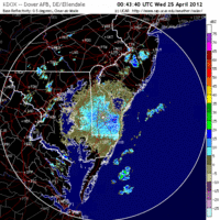
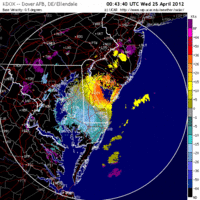
Delaware & New Jersey
Frames are every 1/2 hour. Click on the thumbnail to view the full-sized animation.
Migration over the Mid Atlantic was light last night as winds turned NW and shut things down fairly early. Some birds did move, though, and those that did were heading SSW->NNE. A small but significant push across the mouth of the Delaware River could be seen on both radar loops so birders in Cumberland and Salem Counties should consider checking their local migrant trap this morning for the possibility of something new. Otherwise expect a little shuffling of the deck this morning as some birds left and few birds arrived.
Upper Midwest
Iowa & Illinois
Frames are every 1/2 hour. Click on the thumbnail to view the full-sized animation.
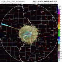
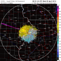
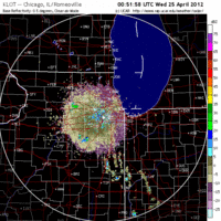
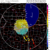
Both Davenport and Chicago show moderate to heavy migration into and out of the region. Birds were heading NW on SE winds and therefore will be dispersed throughout Wisconsin and Minnesota this morning. Birders in northern IA and IL should see some turnover at local hotspots with a general decrease in numbers along the Lake Michigan shoreline (Chicago).
Wisconsin
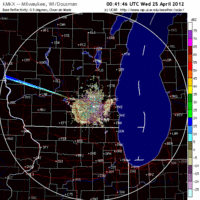
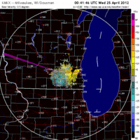
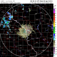
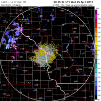
Frames are every 1/2 hour. Click on the thumbnail to view the full-sized animation.
Moderate to heavy migration was apparent over Wisconsin last night with the heaviest flight occurring in the northern reaches (see Max’s post for North Woods predictions). Over Milwaukee and La Crosse migration started off pretty hot and heavy with most birds heading NW on SE winds (similar to IL and IA). It looks like some storms moved in early this morning across both locations and may have caused some fallout conditions especially over La Crosse. Over Milwaukee it looks like the precip moved in so close to daybreak that I expect little effect of it on migrants (most were landing at that point anyway). With the general NW flow of birds into the state, expect migrant traps along the Mississippi River to be hopping this morning. Wyalusing SP should be great. Otherwise inland hotspots away from the Lake Michigan shore should be better than those along the shore due to the wind direction and general pattern of movement. Warbling, Yellow-throated and Blue-headed Vireo have all been reported in the state so expect more of them to be seen today. Birds that have been reported in ones-and-twos, such as Northern Waterthrush, Rose-breasted Grosbeak, and Prothonotary Warbler should become more numerous as well. How about a wood thrush? Since the Milwaukee bird I haven’t heard anything about them… I expect many are pushing up the Central Flyway, so it’s only a matter of time!
Lastly, make sure you check out the full animation from last night here, so you can see how awesome the flight into Texas really was!
As always, woodcreeper.com depends on YOU to report your sightings and be our ‘eyes on the ground’, so please come back and give us an idea of how we’re doing predicting birding conditions in your neck of the woods.
For migration updates in other regions check-
Michigan’s Upper Peninsula – The Northwoods BIRDAR by Max Henschell <- NEW!
New England – Tom Auer’s blog
Florida/SE – Badbirdz Reloaded by Angel and Mariel Abreu
PA/Ohio Valley – Nemesis Bird by Drew Weber
NW Ohio – Birding the Crane Creek by Kenn Kaufman
Arizona – Words About Birds by Tim Schreckengost <- NEW!
Pac NW – Birds Over Portland by Greg Haworth
Continental US – eBird BirdCast Forecast & Report by Team eBird
