National Overview
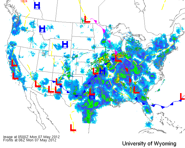
A series of surface lows and associated frontal boundaries have brought cyclonic winds and locally heavy precipitation to the Plains, Midwest, and Southeast. As you can see below, this combination of disturbance has created a tapestry of migration and precipitation to most of the country.
Below are the radar loops from sunset last night through 5:00am (central time) this morning
Since I will be publishing “as I go” each morning you may see some incomplete posts throughout the early morning hours. Don’t worry- it’s coming!
Mid Atlantic
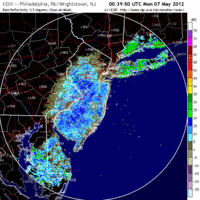
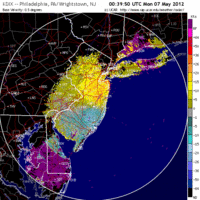
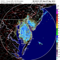
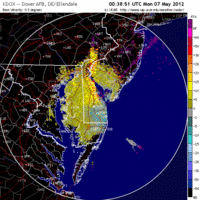
Delaware & New Jersey
Frames are every 1/2 hour. Click on the thumbnail to view the full-sized animation.
Reading the Mid Atlantic radar it appears that the bulk of birds migrated along the interior route rather than being concentrated along the coast. Looking more broadly at the regional composite (not shown, but see the image at the top of this post), that theory bares out with the heaviest returns throughout PA and NY. Expect new birds to be concentrated at inland hotspots today, especially those lying along the Delaware River and along interior ridges. Cape May got skunked on this latest flight, and Sandy Hook was only in the periphery of the migrant swarm. That’s not to say that either of these places wouldn’t hold birds today, because they should, it’s just that little of the new arrivals should be there compared to more inland locales.
Upper Midwest
The Upper Midwest lies north of the major flight once again, as low pressure over Iowa keeps birds from pushing up into the region en mass. Still, the lack of strong opposing winds means that birds in the system were moving through last night and birders in the north should be seeing new species today.
Iowa & Illinois
Frames are every 1/2 hour. Click on the thumbnail to view the full-sized animation.
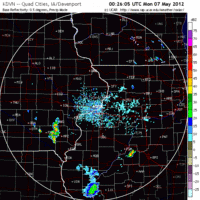
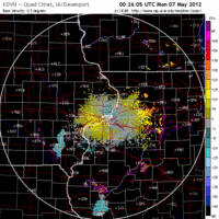
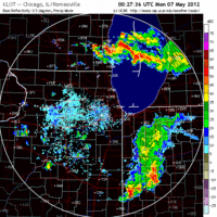
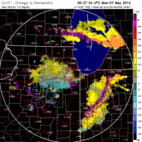
Moderate migration into the Davenport area and over Chicago IL early in the night gets shut down by heavy precipitation by early morning. Look for concentrations of birds around Davenport as there was a considerable influx into the region before the storms shut things down. Around Chicago the migration was more diffuse and no fallout conditions are expected this morning.
Wisconsin
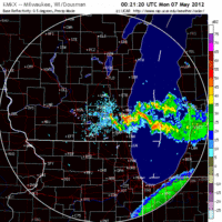
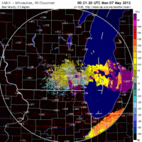
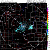
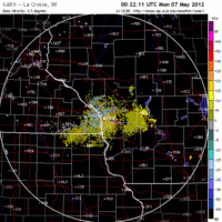
Frames are every 1/2 hour. Click on the thumbnail to view the full-sized animation.
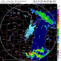
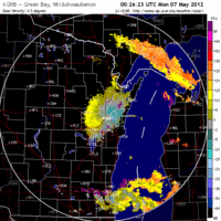
Moving up to Wisconsin the migration scenario was much more subdued as conditions have begun to deteriorate. Northwest winds and precipitation have lessened the density of migrants pushing north into and out of the state, and this plays out on each of the radar feeds above. Light migration was evident over Milwaukee and Green Bay as birds began the night pushing to the northwest and then were shut down by rain an opposing winds. Over La Crosse we saw another attempt by birds to head north only to be shut down by precipitation and opposing winds. Again, none of these situations should result in fallout conditions today, but with so many birds in the area today and without a major clearing out of migrants overnight, birding conditions throughout the state should continue to be good.
As always, woodcreeper.com depends on YOU to report your sightings and be our ‘eyes on the ground’, so please come back and give us an idea of how we’re doing predicting birding conditions in your neck of the woods.
For migration updates in other regions check-
Michigan’s Upper Peninsula – The Northwoods BIRDAR by Max Henschell <- NEW!
New England – Tom Auer’s blog
Florida/SE – Badbirdz Reloaded by Angel and Mariel Abreu
PA/Ohio Valley – Nemesis Bird by Drew Weber
NW Ohio – Birding the Crane Creek by Kenn Kaufman
Arizona – Words About Birds by Tim Schreckengost <- NEW!
Pac NW – Birds Over Portland by Greg Haworth
Continental US – eBird BirdCast Forecast & Report by Team eBird
