National Overview
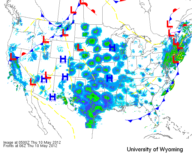
As the latest cold front pushed across the Rockies and Great Plains last night, southerly flow triggered heavy migration from Texas to Minnesota and west to the Dakotas. To really appreciate the pattern you need to check out the full loop from 3pm yesterday through today here on Paul Hurtado’s radar archive. Migration was also evident through the Midwest, but at a much reduced level owing to the continued northerly flow over most of the region. Looking to the east coast, strong westerly winds combined with strong low pressure spinning up through New England poses the potential for wayward vagrants on the upper New England coast today. While densities are not anticipated to be high, the chance for something interesting showing up at one of the coastal migrant traps is definitely worth looking into. I imagine Derek Lovitch is out right now doing just that! Over on the Left Coast it looks like birds took to the sky over southern California but that conditions farther north were less than optimal. Check with your local BIRDAR site to get the skinny on other regions of the U.S. In the meantime, her’s what happened over the Upper Midwest and Mid Atlantic.
Below are the radar loops from sunset last night through 5:00am (central time) this morning
Since I will be publishing “as I go” each morning you may see some incomplete posts throughout the early morning hours. Don’t worry- it’s coming!
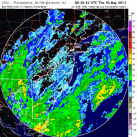
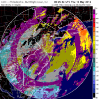
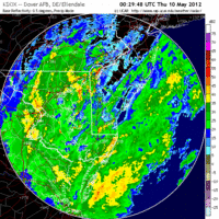
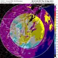
Mid Atlantic
Delaware & New Jersey
Frames are every 1/2 hour. Click on the thumbnail to view the full-sized animation.
Looking at the radar it appears that most of the Mid Atlantic was covered up with precipitation last night before migration would have occurred. It’s possible that some birds took to the sky early on, but the strong NW winds that accompanied the unstable weather make migration highly unlikely. Still, once the storms have cleared it might pay to check coastal migrant traps for the odd stranded bird, or the post-storm feeding frenzy.
Upper Midwest
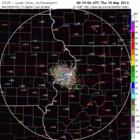
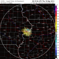
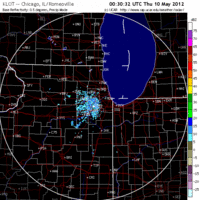
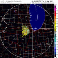
Iowa & Illinois
Frames are every 1/2 hour. Click on the thumbnail to view the full-sized animation.
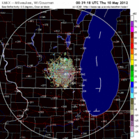
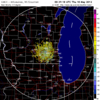
As of last night it didn’t look like birds were going to migrate out of Iowa and Illinois, but conditions shaped up a bit as the night progressed and the radar does show a push through the region. More birds took to the sky over Iowa last night with the main trajectory being SE->NW. Over Chicago things were a little more muted but with birds heading along the same trajectory. Expect some turnover in IA and IL today with birds being dispersed across the landscape. Hit the spring migrant traps for the best chances at diversity and density today.
Wisconsin
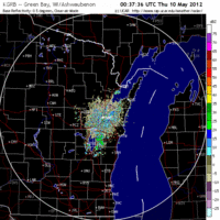
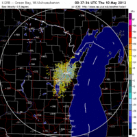
Frames are every 1/2 hour. Click on the thumbnail to view the full-sized animation.
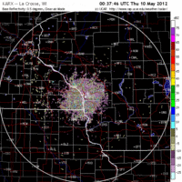
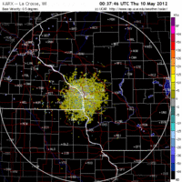
As above, migration was heaviest in the west and got lighter as you move east. A big flight of birds could be seen on the La Crosse radar as birds headed up the Mississippi River floodplain. Farther east migration was considerably lighter as conditions have yet to turn optimal along the Lake Michigan shoreline. That should change tonight as winds go slack, and even more so on Friday night as winds turn southwesterly before going northwesterly by Saturday morning. Expect bird numbers in the south to thin out a bit or remain constant today with more birds pushing up into the northern reaches of the state. By Friday and especially Saturday, though, the southern part of the state should really heat up. Good Birding!
As always, woodcreeper.com depends on YOU to report your sightings and be our ‘eyes on the ground’, so please come back and give us an idea of how we’re doing predicting birding conditions in your neck of the woods.
For migration updates in other regions check-
Michigan’s Upper Peninsula – The Northwoods BIRDAR by Max Henschell <- NEW!
New England – Tom Auer’s blog
Florida/SE – Badbirdz Reloaded by Angel and Mariel Abreu
PA/Ohio Valley – Nemesis Bird by Drew Weber
NW Ohio – Birding the Crane Creek by Kenn Kaufman
Arizona – Words About Birds by Tim Schreckengost <- NEW!
Pac NW – Birds Over Portland by Greg Haworth
Continental US – eBird BirdCast Forecast & Report by Team eBird
