National overview
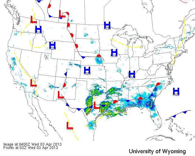
Again high pressure dominated most of Central US last night as a series of low pressure systems begin to make their way in from the west. Migration was limited to the southern portion of the country and mostly concentrated along the Gulf Coast. Heavy precipitation along the Texas Gulf Coast may cause some localized fallout conditions later today as Trans-Gulf migrants find themselves exhausted upon landfall. Some local concentrations are also expected in Coastal Louisiana as heavy precipitation around midnight last night shut down the migration event previously underway. Looking at the Upper Midwest, though, we saw only a bit of migration as the north winds dissipated over night… but it’s only a taste of what we’ll see beginning tonight.
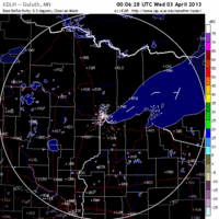
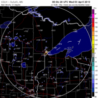
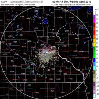
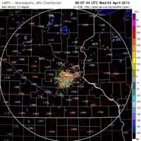
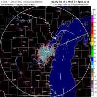
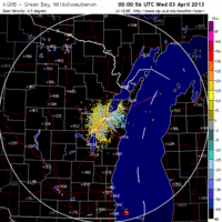
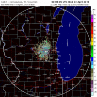
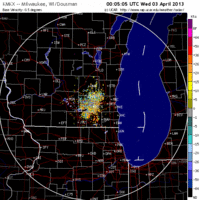
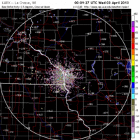
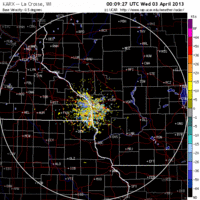
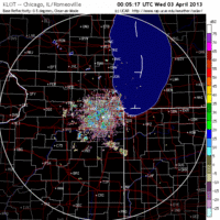
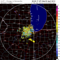
Below are the radar loops from sunset last night through 5:00am (central time) this morning
Upper Midwest
Minnesota & Wisconsin
Frames are every 1/2 hour. click on the thumbnail to view the full-sized animation.
In the northern reaches of the forecast area (the Duluth, MN radar) the winds continued out of the NW and precluded any migration from occurring. Farther south over the Twin Cities, though, the radar shows a very small pulse of activity heading from SW->NW, indicating bird migration. It’s extremely small, but it’s a good sign!
Migration activity was likewise very low for Wisconsin, with each radar indicating only a small and diffuse movement of birds heading north last night as winds died down.
Iowa & Illinois
Frames are every 1/2 hour. click on the thumbnail to view the full-sized animation.
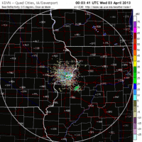
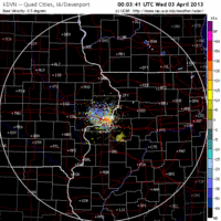
Migration over Davenport, IA was similar to Wisconsin in that there was only a small push of birds late in the night. The Chicago radar, on the other hand, did indicate a small but concentrated movement of birds heading NW into Southern Wisconsin in the late night/early morning.
Small migration events like this are common following several nights of poor migration conditions. In fact, they get much more intense and predictable as migration advances (as birds feel the pressure to reach the breeding grounds). While I don’t expect much change in bird density on the ground this morning, we could see several FOS species in the southern portion of the forecast area this morning. Tonight, though, is the real story, as high pressure moves out and southwest winds build in ahead of the approaching front. We should see a nice push of migrants throughout the forecast area tomorrow night and into Thursday morning, so stay tuned!
As always, woodcreeper.com depends on you to report your sightings and be our ‘eyes on the ground’, so please come back and give us an idea of how we’re doing predicting birding conditions in your neck of the woods.
Good Birding,
David
For migration updates in other regions check-
Michigan’s Upper Peninsula -Â The Northwoods BIRDARÂ by Max Henschell
New England -Â Tom Auer’s blog
Florida/SE - Badbirdz Reloaded by Angel and Mariel Abreu
PA/Ohio Valley - Nemesis Bird by Drew Weber
NW Ohio - Birding the Crane Creek by Kenn Kaufman
Pac NW - Birds Over Portland by Greg Haworth
Continental US - eBird BirdCast Forecast & Report by Team eBird
