National overview
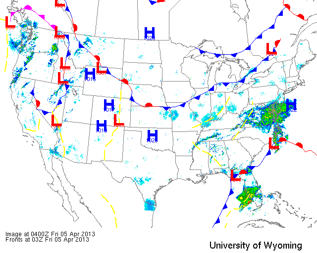
Last night the high pressure returned to most of the interior US bringing with it more northerly flow and dampening any significant migration across the region. A few areas did see some movement, though, namely the Pacific coast, along the frontal boundary from Missouri to Ohio and a bit into the Northeast, and South Texas. Expect to see migration pick up quickly tonight and tomorrow night as a strong frontal system marches across the US over the next two days. Heavy precipitation forecast for Northern Minnesota and Wisconsin could result in some fallout conditions on Saturday and Sunday mornings depending on the timing of migration with relation to the rain and (potentially) snow.
Below are the radar loops from sunset last night through 5:00am (central time) this morning
Upper Midwest
Minnesota & Wisconsin
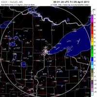
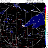
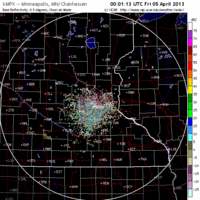
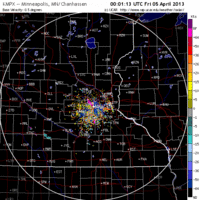
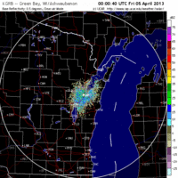
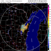
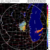
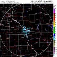
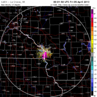
Frames are every 1/2 hour. click on the thumbnail to view the full-sized animation.
Another night of little movement for Minnesota, with the Twin Cities radar showing what appears to be some local shuffling around but no significant migration.
The Wisconsin radars also indicate only a little shuffling around last night. Especially along Lake Michigan it appears that a small number of birds may have been moving inland off of the lake after sunset. This could simply be waterfowl moving around before or after foraging.
Iowa & Illinois
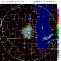
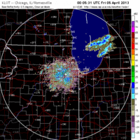
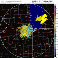
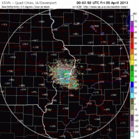
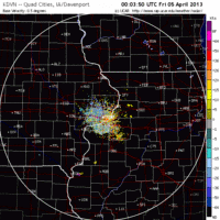
Frames are every 1/2 hour. click on the thumbnail to view the full-sized animation.
Not much going on over Northern Iowa or Illinois either, as northerly flow returned to the region early yesterday and appears to have kept birds down. Again, some little local shifting may have occurred but otherwise the radar indicated little to no directional movement of migrants.
I think it’s safe to say that the Upper Midwest experienced no significant influx or exodus of birds last night. On nights like this some birds will get up into the atmosphere after sunset and appear to ‘test the air’, but then decided to return to the ground for the night. They also may make small local movements overnight, presumably to move into better habitat. Today you can expect some birds to appear in more optimal foraging areas as they continue to refuel for the next leg of their journey. That journey starts tonight, as southerly flow returns in advance of a strong cold front making its way into the Midwest.
As always, woodcreeper.com depends on you to report your sightings and be our ‘eyes on the ground’, so please come back and give us an idea of how we’re doing predicting birding conditions in your neck of the woods.
Good Birding,
David
For migration updates in other regions check-
Michigan’s Upper Peninsula -Â The Northwoods BIRDARÂ by Max Henschell
New England -Â Tom Auer’s blog
Florida/SE - Badbirdz Reloaded by Angel and Mariel Abreu
PA/Ohio Valley - Nemesis Bird by Drew Weber
NW Ohio - Birding the Crane Creek by Kenn Kaufman
Pac NW - Birds Over Portland by Greg Haworth
Continental US - eBird BirdCast Forecast & Report by Team eBird
One response to “The Highs are back in town”
I saw on birdcast there are some chances for overshoot next week in our area and I was hoping you might share some thoughts/predictions in that regard. P.S. I am obsessed with checking this site every morning (Max’s site too); fascinating stuff!