National overview
The strong cold front which has been marching east across the country for the last week has finally made its way to the eastern seaboard. High pressure behind the front brought with it northerly winds which kept migration down for the Upper Midwest and much of the east, while slacking winds across the Gulf Coast triggered some migration from Louisiana to Texas and up into the Southern Plains. Birds could also be seen coming across from Cuba and the Caribbean into South Florida last night, and nocturnal migration from the Desert Southwest through the Central Valley of California and over the Pacific Northwest was also apparent.
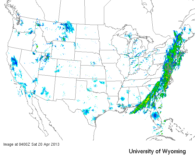
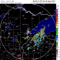
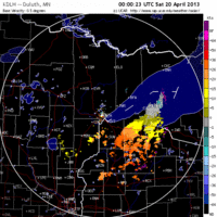
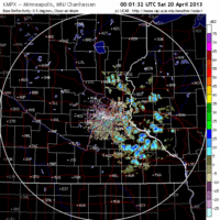
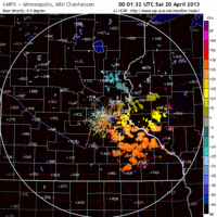
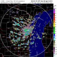
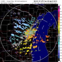
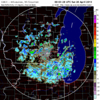
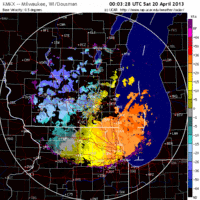
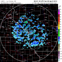
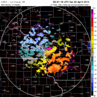
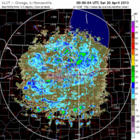
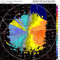
Below are the radar loops from sunset last night through 5:00am (central time) this morning
Upper Midwest
Minnesota & Wisconsin
Frames are every 1/2 hour. click on the thumbnail to view the full-sized animation.
Northwest winds over much of the Upper Midwest kept birds down once again. No migration was evident over either Duluth or the Twin Cities radar stations. Expect birding conditions consistent with yesterday.
Northwest winds were present late last night over Wisconsin as well. A small number of northbound birds over La Crosse was the only evidence of migration over the state last night, and I don’t expect that to cause any significant change on the ground this morning.
Iowa & Illinois
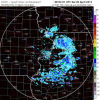
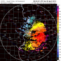
Frames are every 1/2 hour. click on the thumbnail to view the full-sized animation.
The same goes for IA and IL, with no migration apparent over either radar last night.
We’re in a holding pattern again, folks. The good news is that it’s all about to change. As the pesky high pressure currently parked over us drifts to the east tonight, we will see winds slacken over the Upper Midwest and allow for migration into and out of the region tonight. Tomorrow night as the next front approaches from the west, southwesterly winds will build across the Midwest and we will see a big push of new birds into the region for Monday morning. Migration into the region should happen again on Monday night bringing new birds into the Upper Midwest on Tuesday. The beginning of the week is looking pretty bright for birds arrivals, even if it’s full of unseasonably cold and wet weather.
As always, woodcreeper.com depends on you to report your sightings and be our ‘eyes on the ground’, so please come back and give us an idea of how we’re doing predicting birding conditions in your neck of the woods.
Good Birding,
David
For migration updates in other regions check-
Michigan’s Upper Peninsula -Â The Northwoods BIRDARÂ by Max Henschell
New England -Â Tom Auer’s blog
Florida/SE - Badbirdz Reloaded by Angel and Mariel Abreu
PA/Ohio Valley - Nemesis Bird by Drew Weber
NW Ohio - Birding the Crane Creek by Kenn Kaufman
Pac NW - Birds Over Portland by Greg Haworth
Continental US - eBird BirdCast Forecast & Report by Team eBird
