National Overview
A front stalled over the southeastern U.S. and a second cold front approaching the Midwest set the stage for another night of migration in these two regions. Birds continued to move north from Texas and the western Gulf Coast with a continuous flow up through the plains region and into the western Great Lakes.

Below are the radar loops from sunset last night through 5:00am (central time) this morning
In an attempt to get the radar posted as quickly as possible, I will be publishing “as I go” each morning. Therefore you may see some incomplete posts throughout the early morning hours (5-6am Central; 6-7am Eastern Time). We’ll test out this method for a few weeks and see how well it works… your feedback, of course, is most welcome!
Mid Atlantic
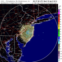
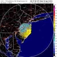
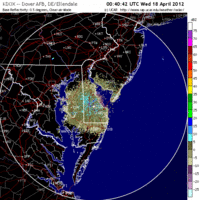
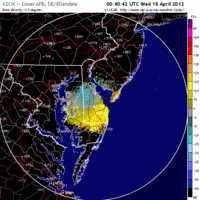
Delaware & New Jersey
Frames are every 1/2 hour. Click on the thumbnail to view the full-sized animation.
Northwest winds over the Mid Atlantic meant no apparent northbound nocturnal migration last night. Both of the velocity images show strong NW->SE flow suggesting that any birds in the atmosphere last night were reverse-migrating. If that were the case, the density of such an event would be low given the reflectivity values. More likely whatever was in the atmosphere was aerial plankton or abiotic.
Upper Midwest
Wisconsin
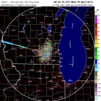
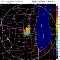
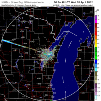
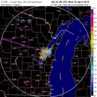
Frames are every 1/2 hour. Click on the thumbnail to view the full-sized animation.
Birds over the Upper Midwest! Looking at the eastern Wisconsin radars you can see clear migration initiated after sunset and persisting into the morning hours. The general trajectory of these birds switches a little overnight from ESE->WNW to SE->NW, which means that birds are not being concentrated along the lake shore today as they had been over the last few nights. Instead expect birds in Eastern WI to be dispersed across the landscape farther inland. Birders should aim for known inland migrant traps for the best chance at new birds this morning. To get a handle on central and western WI we need to look at the radars to our south (since La Crosse is still down for repairs)…
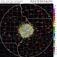
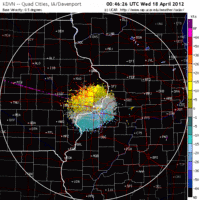
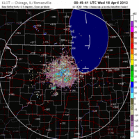
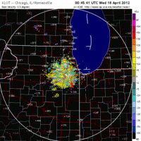
Iowa & Illinois
Frames are every 1/2 hour. Click on the thumbnail to view the full-sized animation.
Both the Davenport IA and Chicago IL radars showed moderate to heavy migration last night. Initially I expected most birds to be skirting us to the west, but with winds turning more southerly overnight we can see the shift in migration trajectory as the frontal boundary approaches and birds take a more S->N route into southern Wisconsin. This should deliver more birds evenly across the state again suggesting that inland migrant hotspots are the best bet today. Wyalusing SP, Phaesant Branch Conservancy, etc. should hold new birds today. Large concentrations and/or fallout conditions are not expected anywhere in the state due to the lack of concentrating weather (although see below for Minnesota).
Minnesota
Frames are every 1/2 hour. Click on the thumbnail to view the full-sized animation.
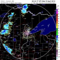
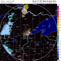
The Duluth radar indicates birds made their way into the North Woods last night. The frontal boundary does move in early this morning and may have shut down some migration over the city, so birders around Duluth should check the local habitat patches for newly arrived birds today.
As always, woodcreeper.com depends on YOU to report your sightings and be our ‘eyes on the ground’, so please come back and give us an idea of how we’re doing predicting birding conditions in your neck of the woods.
ÂFor migration updates covering other regions check-
Badbirdz Reloaded – Angel & Mariel cover Florida and the Southeast
Birds Over Portland – Greg blogs about the Pacific Northwest
Nemesis Bird – Drew and company give you the skinny on Pennsylvania
Tom Auer (aka The Skua) – Tom’s blog covers New England
3 responses to “Migration up the central flyway and southeast coast”
Is it just me or does the radar from last night seem to indicate higher densities than usual over the central Mississippi flyway states? Hopefully WI will see some of that action in the coming days…
Lots of birds in the pipeline and SW winds forecast for the region south of us over the next two nights. It could get interesting! NE winds over WI though will be the limiting factor so we’ll have to keep an eye on how that forecast changes and how it plays out on the radar. The big question will be where birds will concentrate if NE winds push them inland and away from the lake. Zappa for President!
Good Birding- and thanks for dropping by.
I can vouch for the no migration outcome in western NJ–after several days with dozens of detections, my nocturnal flight call listening station in Hunterdon County picked up only two sparrow calls last night.